

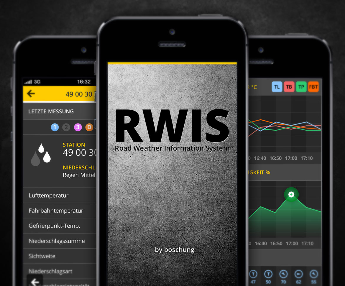


The RWIS App enables a quick mobile visualization of measured data from weather stations of roads and airports on an interactive Google Map. For use of RWIS APP the customer deposits a special web service access point, username and password to access his data. This enables him to display all his available weather stations on an interactive Google Map as well as the measured data of a station. Public users have public access to shared data of the stations.
My role: design